
GEOGRAPHICAL INFORMATION SYSTEMS
Optimised information management systems add value to information flow processes by providing targeted insight. Data collection, data capture and data manipulations lie at the core of the GIS system service.
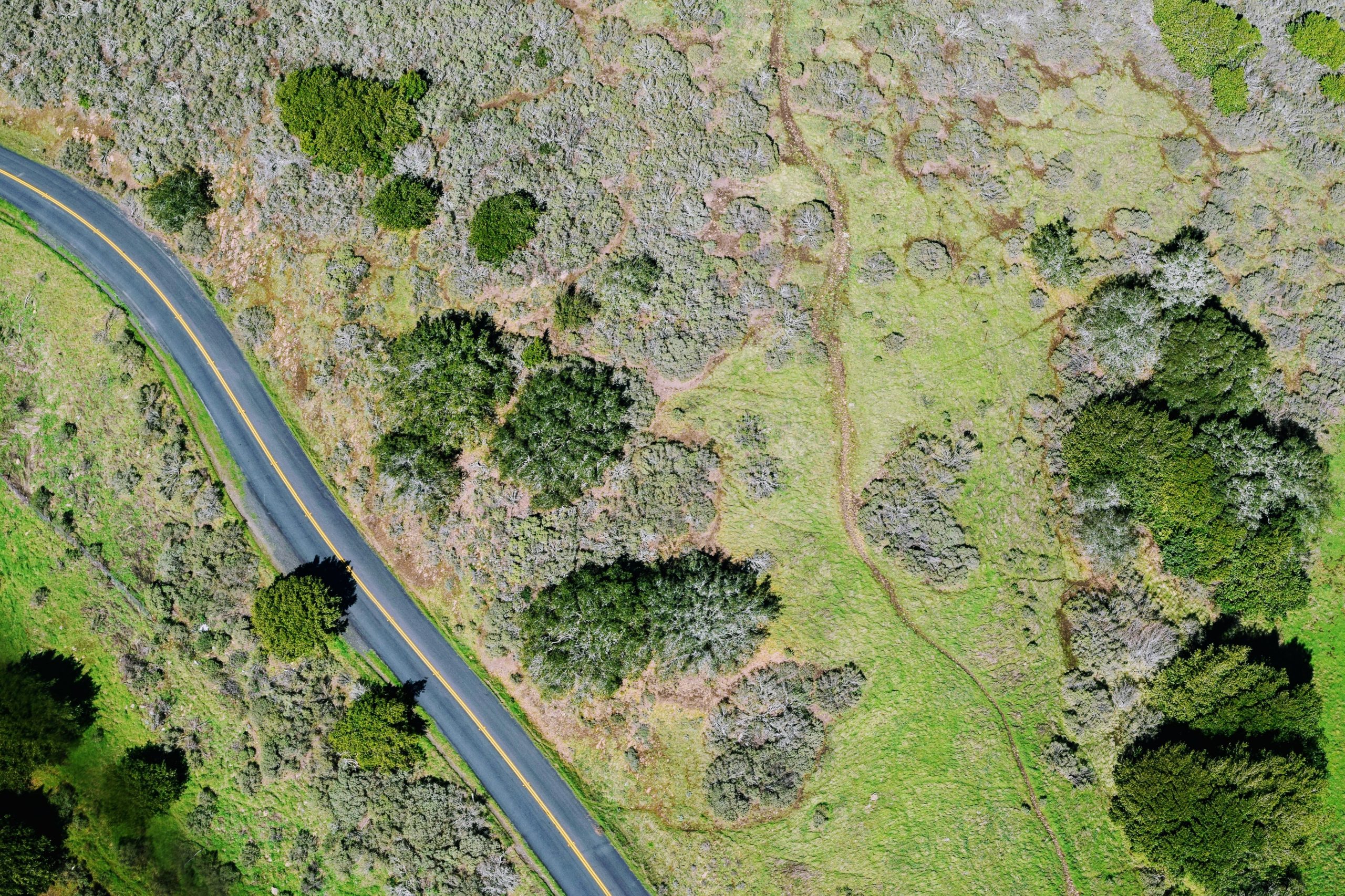
We collect spatial and non-spatial data from a variety of sources such as drawings and general plans, digitising from orthophoto and topographical maps, co-ordinates and survey data from Global Positioning System (GPS). The data is analysed, edited and projected in line with each client’s needs, for integration into their information systems. This approach provides our clients with an interactive, business-specific information tool.
Every project starts with an extensive analysis of the organisation’s current data management processes to gain an in-depth understanding of how the tool can be used to improve existing systems. We identify the data used, any challenges experienced and the specific output requirements of the organisation to recommend improvements for an integrated system and technology that will work more effectively in support of daily business operations and management. Our flexible application development capabilities allow us to customise the system to suit the exact requirements of the business.
Geo-process workflow modelling
Using the GIS software’s geo referencing and advanced modelling capabilities, our team of specialists build geo-processing models which emulate GIS workflows and develop analytical models to solve complex spatial problems.
GIS application development and customization
The adaptability of our systems enables us to customise routine GIS functionality into efficient applications for a more productive environment. Creative use of our clients’ data produces overlays of information that are cross-referenced both spatially and non-spatially.
End User Requirement Analysis (EURA)
- Information management system design, development and implementation
We believe that a holistic information management system MUST be based on adding value and efficiency to the clients’ information flow paths and this is the driving force behind every IDS undertaking. - Map and map book production
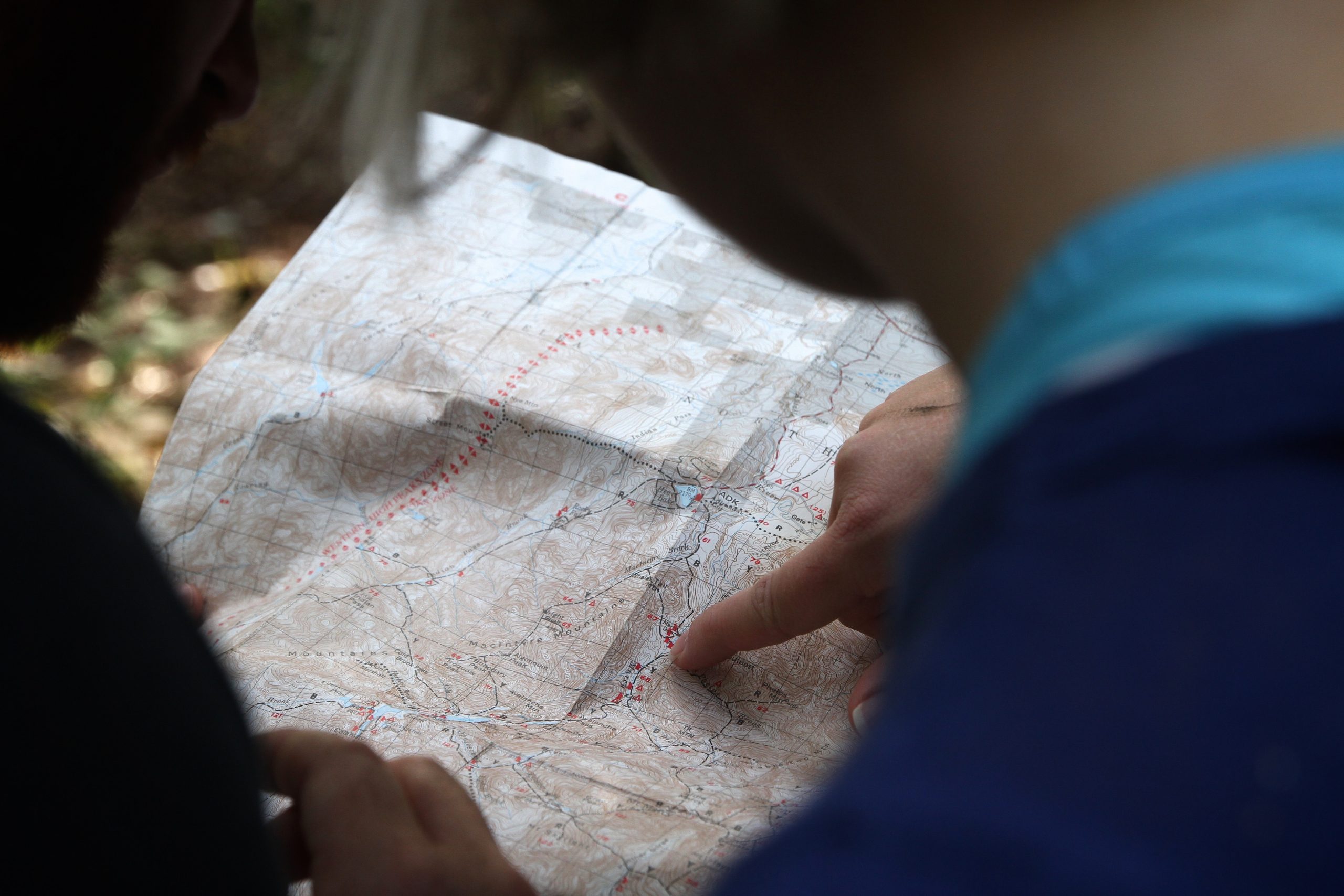
IDS has access to a wide range of datasets which are used to generate maps (for query and spatial analysis) for its clients. - Spatial analysis
Spatial analysis is an integral part of GIS. We combine and overlay datasets to reflect spatial correlations, patterns and trends across geographic features. The complex questions of where, when and how are then easily answered, using attribute queries (non-spatial) and spatial queries to perform surface analysis, network analysis, point pattern analysis, raster analysis and topological analysis.
3D data manipulation and visualisation
IDS uses specialised mapping software to generate 3-dimensional models for visual impact assessments; contamination assessments, or any other application where a third dimension will add value to the project.
ENVIRONMENTAL CONSULTING
Environmental sustainability is an increasing global responsibility making the need for comprehensive environmental management together with the growing need for development, a truly critical concern.
Our professional consulting service aims to find the perfect balance between the needs of the developer and the protection of the environment.
IDS’ range of environmental services includes:
ENVIRONMENTAL IMPACT ASSESSMENTS (EIA’S)
Using the National Environmental Management Act (NEMA) EIA regulations as the standard, an Environmental Impact Assessment (EIA) evaluates and quickly identifies the potential positive or negative effects of a proposed development on the natural, social and economic aspects of the environment.
This is done before the project is undertaken, to avoid or mitigate any significant negative outcomes. It also analyses environmental studies and public comments on potential environmental consequences so ensure that the environment is not harmed by the proposed development.
ENVIRONMENTAL SCREENING REPORTS
An environmental screening process is conducted with the aim of determining whether a development proposal requires environmental assessment and if so, what level of assessment is appropriate. It is therefore defined as a decision-making process that is initiated during the early stages of the development proposal.
S24G RECTIFICATION APPLICATIONS
Unauthorised commencement or continuation of activities identified in terms of the Environment Impact Assessment regulations can be rectified by means of an application to the Minister or relevant MEC, depending on who will be the competent authority for such authorisation in accordance with the current delegations, in terms of Section 24G of NEMA. NEMA requires that application for rectification be subject to an administration fine that may not exceed R1 000 000 (1 million Rand). A fine calculator was developed to determine the fine for each case.
ENVIRONMENTAL AND CONSTRUCTION COMPLIANCE AUDITING
An Environmental and Construction Audit identifies the full extent of a project’s environmental impact, ultimately determining the project’s compliance with applicable laws, regulations, and the expectations of its stakeholders. It is also used to highlight ways of sustaining or improving the project’s environmental performance going forward.
An Environmental Audit during construction ensures that the mitigation measures specified in the Environmental Impact study are properly implemented during the various stages of construction.
It is used to determine and verify whether:
- All environmental requirements, criteria and constraints, as prescribed in the RoD and EMP, have been adhered to.
- The implementation of the EMP has been successful in preventing environmental pollution and damage.
- Remedial and rehabilitation actions have been appropriate and successful in avoiding future environmental pollution damage.
ENVIRONMENTAL MANAGEMENT PROGRAMMES (EMPR)
The Environmental Management Programme is a detailed plan of action prepared to organise and coordinate environmental mitigation, rehabilitation and monitoring. This programme ensures the successful management of social and environmental impacts, risks and liabilities identified during the construction, operation and closure phases.
WATER USE LICENCE APPLICATIONS
The National Water Act, 1998 (Act 36 of 1998) aims to ensure that the water in South Africa is protected, used, controlled, managed, conserved and developed sustainably and equitably for the benefit of all persons in South Africa. Water Use Licences and General Authorisations have been implemented to achieve the National Water Act objectives.
Whether you are a private Applicant or a developer that is planning on any development near to a water resource, you may be required to obtain authorisation. If you are planning on extracting water, storing water, reducing the flow of a water resource, discharging or disposing of waste or water into a water resource or from underground, or if you are planning on using water for recreational purposes, you may be required to obtain authorisation prior to undertaking the water use activity.
DISASTER
MANAGEMENT
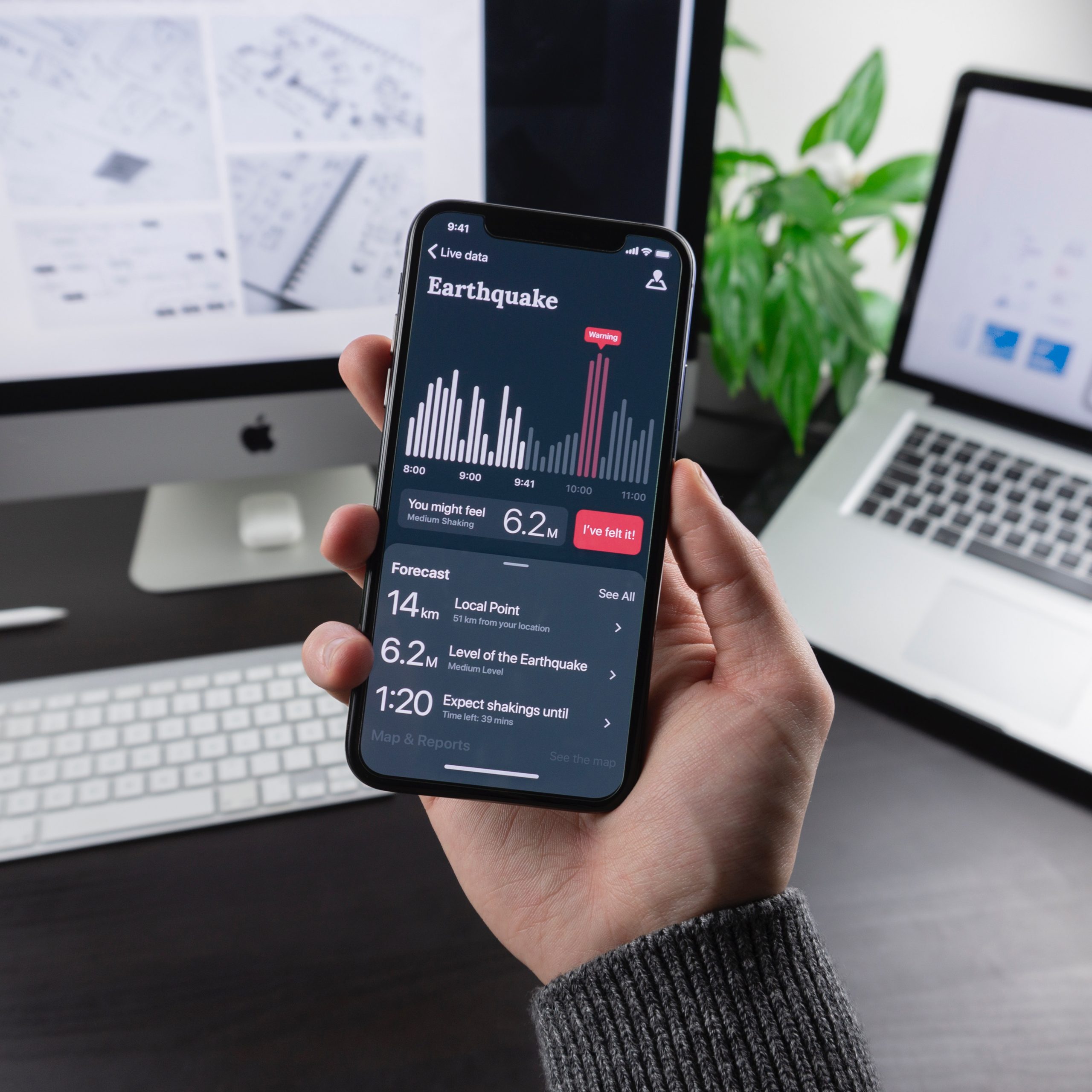
Disasters have far-reaching effects on both environments and communities. Geospatial data is an area of expertise that is used very effectively in disaster prevention, mitigation and management.
Pre-disaster preparedness
GIS, surveying, mapping and visualisation models can assess the vulnerability and risk levels of a potential hazard to the environment and surrounding communities and potentially prevent a disaster from occurring.
Accurate forecasting visualisations of the impact of a disaster assist with preparedness, capacity building and pre-planning to reduce vulnerability, plan early warning systems, map evacuation routes and emergency vehicle access as well as identify potential buffer zones.
During and Post-Disaster
The same techniques can be used to feed information into the response, recovery and rehabilitation functions as well. Recovery, mobilisation and reconstruction efforts can be guided and monitored, as the environment evolves, using real-time geospatial data.
Depending on the need, we can also customise information systems to refine funding strategies and build awareness through engagement with communities and the dissemination of training and education.

OTHER SERVICES
IDS services extend to many other areas including; asset management, asset verification, database development, data collection, data manipulation and database development.